
 EN
EN
 ar
ar bg
bg hr
hr cs
cs da
da nl
nl fi
fi fr
fr de
de el
el hi
hi it
it ko
ko no
no pl
pl pt
pt ro
ro ru
ru es
es sv
sv tl
tl iw
iw id
id lv
lv lt
lt sr
sr sk
sk sl
sl uk
uk vi
vi et
et hu
hu th
th tr
tr fa
fa ms
ms hy
hy ka
ka ur
ur bn
bn mn
mn ta
ta kk
kk uz
uz ku
ku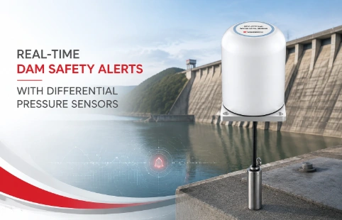
Real-Time Dam Safety Alerts with Differential Pressure Water Level Sensors
Key Takeaways An alert chain needs more than a sensor: define field in...

GNSS Monitoring for Geotechnical and Structural Applications
When a slope starts creeping mere millimeters per day, catching that movement early can save a project. GNSS has become the backbone of modern geotechnical monitoring, and at Kingmach we've built systems that turn satellite signals into actionable site intelligence. Rather than one-size-fits-all, our GNSS approach gets shaped around each deployment—whether it's a tailings dam in South America or a bridge span in Southeast Asia. The instruments arrived through a distributor network that stocks spares and knows local permitting. And because we make the sensors in-house, parameters like sampling rate or data output can be tweaked without waiting on a foreign factory. This mix of direct manufacturing and field experience means the GNSS you receive isn't a lab curiosity—it's set up for dust, rain, and the occasional wrong wiring attempt.
Technical Detail
Kingmach GNSS monitoring packages are built around professional-grade receivers that track GPS, GLONASS, Galileo, and BeiDou constellations. Multiple frequency bands and advanced tracking loops help maintain centimeter-level precision even when satellite geometry isn't ideal. Post-processing or real-time kinematic (RTK) options let users choose between immediate alarms and higher accuracy. Housings are IP67 rated, with cable glands that actually hold during monsoon seasons—something we learned from repeat projects in tropical regions. Raw data streams out over 4G, radio, or Ethernet to a local server or cloud dashboard. If a customer already runs Modbus or TCP-based SCADA, the integration is straightforward; we've documented the required registers. Common applications include landslide monitoring, where GNSS stations spaced along a scarp track differential movement; dam crest and abutment surveys that need sub-centimeter repeatability; and open-pit mining, where wall shifts can indicate impending failure. Instead of presenting a locked-down box, we work out sensor arrays that combine GNSS with inclinometers or piezometers, then send a unified data feed. Preliminary setup guides come in English, but regional distributors often offer local training. All firmware can be remotely upgraded, and we maintain a repository of past-version tools for users who stick with older control software. Simple things—like labeling connectors with UV-resistant stickers—reduce site confusion. The goal is to make GNSS a practical tool, not a research project.
News
Key Takeaways An alert chain needs more than a sensor: define field in...
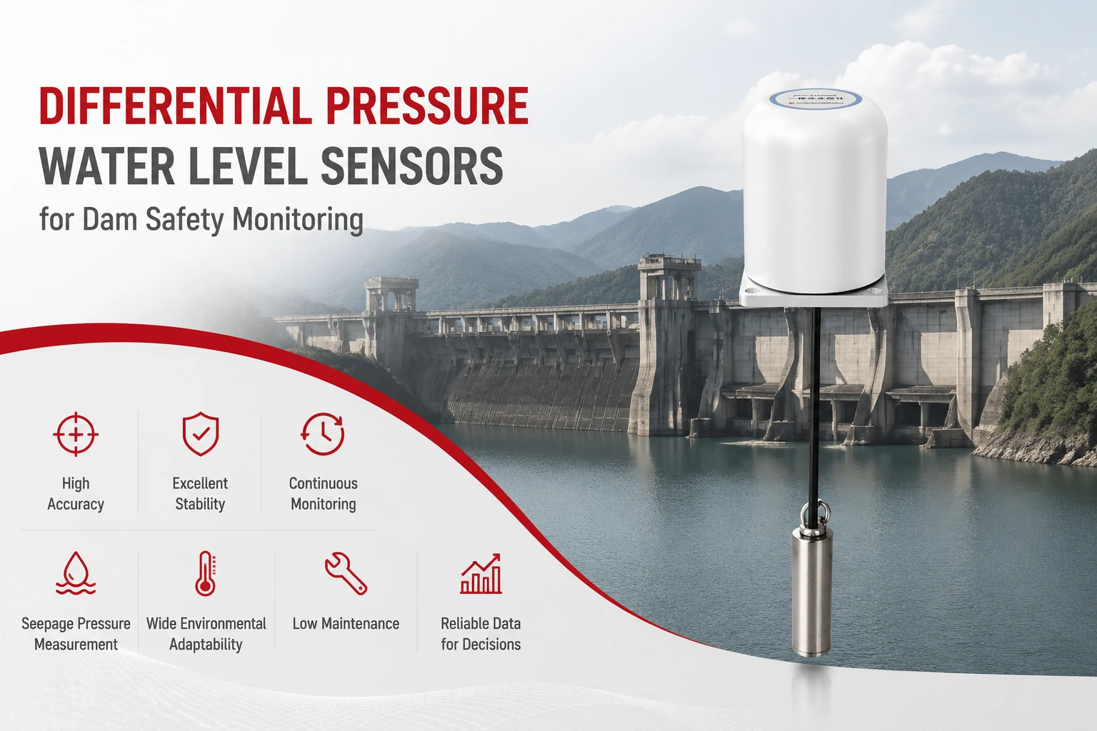
Key Takeaways The strongest fit is usually a confined, submerged, or s...
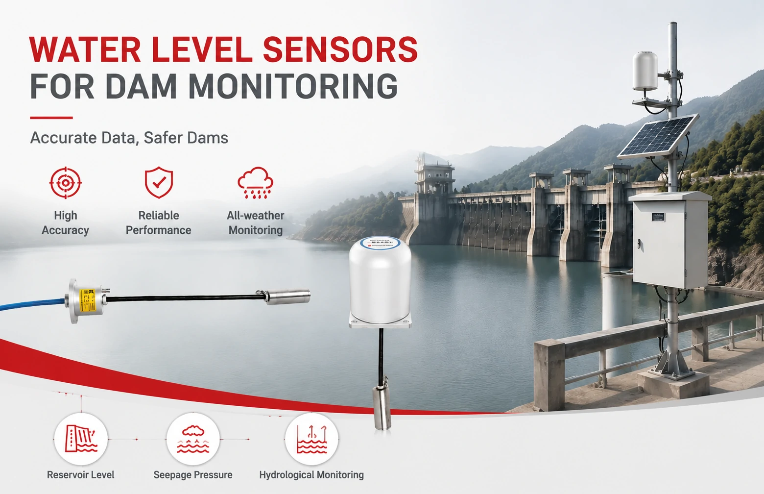
Kingmach Water Level Sensors for Dam Monitoring: A Buyer's Guide to Differential Pre...
Products
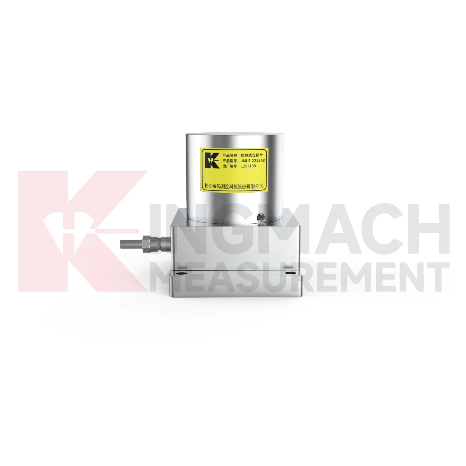
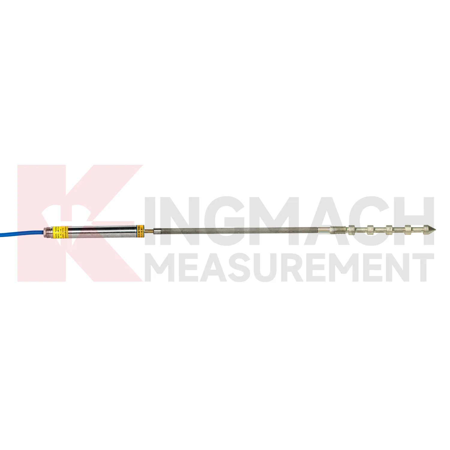
Smart Single-Point Bedrock Displacement Meter JMDL-32XXAT
View Details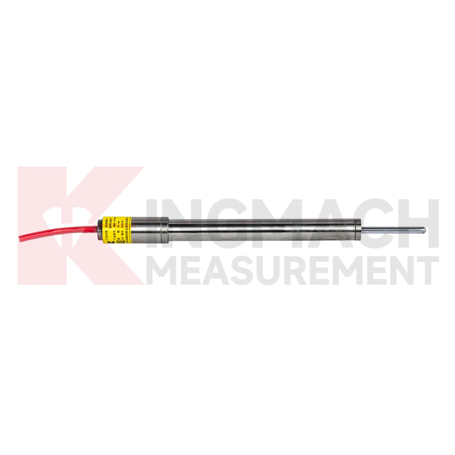
Smart General-Purpose Displacement MeterJMDL-21XXAT
View DetailsFAQ
In good open-sky conditions, real-time kinematic solutions typically fall within 8–15 mm horizontally and 15–20 mm vertically. With post-processing and long baselines, you can often push horizontal accuracy below 5 mm. Actual numbers depend on the local ionosphere and multipath, so we usually run a short test deployment to fine-tune settings.
GNSS doesn't need line of sight and works day and night, which makes it preferable on large landslides or where a permanent setup is needed. Total stations can be more precise over short distances, but they require stable pillars and regular maintenance. Often projects mix both: GNSS gives absolute coordinates over time, and a total station fills in relative movements between nearby points.
Yes. Most Kingmach GNSS units output a standard NMEA stream, and we provide a data logger or gateway that can also accept analog or digital inputs from in-place inclinometers, piezometers, or weather stations. This allows a single IP address to serve all sensors at a monitoring location, which simplifies network setup.
The default output is raw observations (RINEX), computed positions, and a basic motion flag. Alerts can be set through a web dashboard or sent via email/SMS when displacement exceeds a user-defined threshold. We also support export to common formats like CSV, Leica DBX, and SQL databases for those who use third-party analysis software.
The receivers are built with IP67 enclosures and can operate from -30°C to 65°C. Solar panel and battery sizing is done per job, and we typically recommend enough capacity for 5–7 days without sun. In very remote areas, we've used Iridium satellite uplinks, though most sites rely on cellular. The units have survived winters in Chilean Andes and dust in Western Australia's iron ore region without failure.
Share your product type, target capacity, and application requirements. Our team can review the details and recommend a practical next step.
Related Keywords
If you are interested in our products or want to become our partner.
Please leave your contact information, our team will contact you as soon as possible.
Mail: [email protected]
Contact Us: +8613808434127
Address: No. 188 Tongzipo West Rd, Changsha, Hunan, China